Subtropical Storm Alberto About to Make Landfall
Subtropical Storm Alberto headed toward anticipated landfall sometime Monday on the northern Gulf Coast, where white sandy beaches emptied of their usual Memorial Day crowds.
And just as the long holiday weekend marked summer's unofficial start in the U.S., Alberto gave it the unofficial start of what forecasters recently predicted would be an active hurricane season.
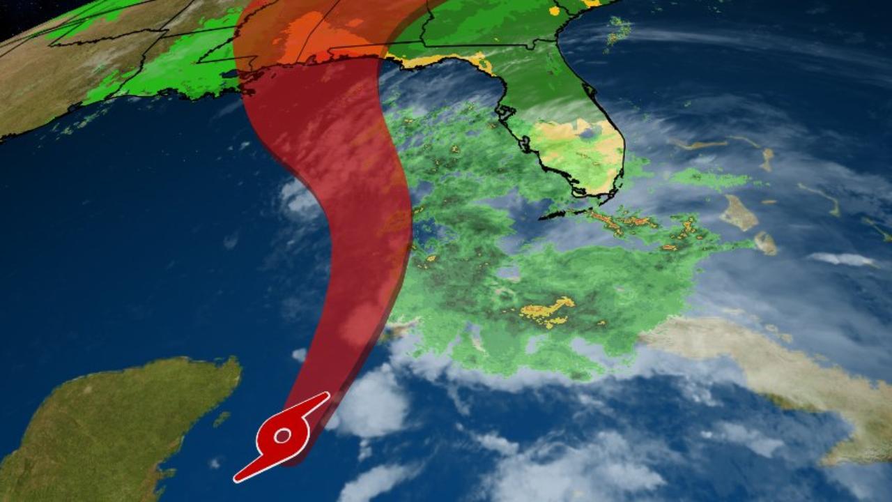
The National Hurricane Center in Miami said at 2 p.m. EDT Monday that Alberto was maintaining its strength as it approached the Florida Panhandle and was centered about 30 miles south-southwest of Panama City, Florida. The storm that was expected to make landfall later Monday had maximum sustained winds of 50 mph and was moving north at 8 mph.
On Sunday, a preview of Alberto's impact was seen in Cuba, where the island experienced four inches of rain in less than eight hours, CBS News correspondent Manuel Bojorquez reports from Panama City.
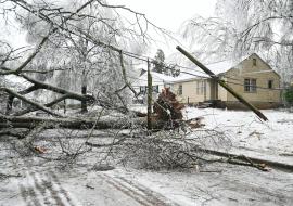
Forecasters warned of life-threatening surf conditions, the possibility of a few brief tornadoes in much of Florida and parts of Georgia, South Carolina and Alabama. And, it said, heavy rains are also expected in many areas.
Once Alberto is inland, and deprived of the warm waters that fuel tropical weather systems, the storm was expected to steadily weaken. A subtropical storm like Alberto has a less defined and cooler center than a tropical storm, and its strongest winds are found farther from its center. Subtropical storms can develop into tropical storms, which in turn can strengthen into hurricanes.
Rough conditions were expected to roil the seas off the eastern and northern Gulf Coast region through Tuesday.
Lifeguards posted red flags along the white sands of Pensacola Beach, where swimming and wading were banned amid high surf and dangerous conditions.
Gusty showers began lashing parts of Florida on Sunday, and authorities warned of the possibility of flash flooding. The hurricane center said a tropical storm warning was in effect from the Suwannee River in Florida to the Mississippi-Alabama state line.
About 400 customers along Florida's Tampa Bay and in the Panhandle were without power Monday morning, according to Florida's Division of Emergency Management.
The storm's approach triggered mandatory evacuations of some small, sparsely populated Gulf Coast barrier islands in one Florida county. The Florida Division of Emergency Management said in a statement Sunday that a mandatory evacuation has been issued in Franklin County for all barrier islands there and those in the county living directly on the coast in mobile homes or in recreation vehicle parks.
In Miami, organizers called off the sea portion of the Miami Beach Air & Sea Show on Sunday because of heavy rain and rough waters. And in the Tampa Bay area on the central Gulf Coast, cities offered sandbags for homeowners worried about floods.
The National Oceanic and Atmospheric Administration released a hurricane season forecast Thursday that calls for 10 to 16 named storms, with five to nine hurricanes. One to four hurricanes could be "major" with sustained winds of at least 111 mph.
If that forecast holds, it would make for a near-normal or above-normal season. An average hurricane season produces 12 named storms, of which six become hurricanes, including three major hurricanes.
Source: CBS News