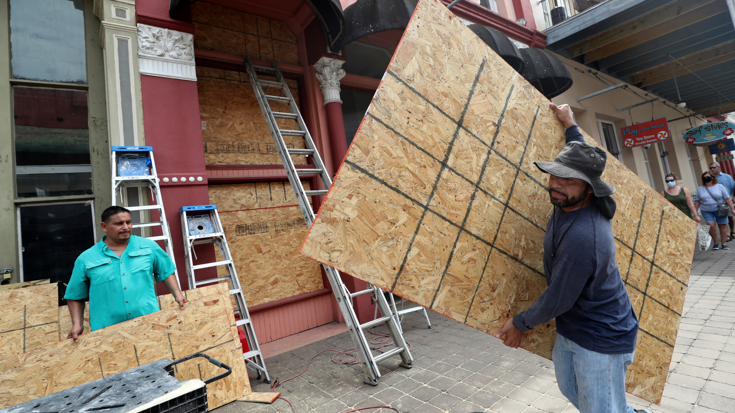
Hurricane Laura Expected to Make Landfall after Midnight
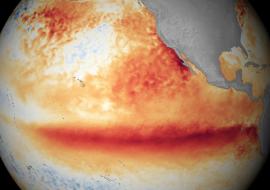
Hurricane Laura is an extremely powerful storm, and as of the 5 p.m. update, it remains a Category 4 hurricane with increased maximum sustained winds of 145 mph and minimum central pressure of 947 mb.
Hurricane Hunters reported the storm had reached a Category 4 and that it is extremely dangerous. Catastrophic storm surge, extreme winds and flash flooding are expected along the northwest Gulf Coast tonight. There is little time left to protect life and property, NHC says.
At 8 a.m. Wednesday morning, Hurricane Laura became the first major hurricane of the 2020 Atlantic hurricane season.
Due to low wind shear and warm ocean water, the storm is expected to continue to intensify on its trek northward.
The biggest takeaway from the last 24 hours is a subtle shift back toward the east, farther away from the Houston metro area. This doesn’t mean that they won’t feel impacts, but right now, it’s unlikely they’ll experience a direct land-falling hurricane.
As of now, the current land-fall location, which is subject to change, is likely near the TX / LA coastline sometime after midnight.
Storm surge will be the largest threat to life and property with Hurricane Laura. Water level rise is expected to peak between 15 – 20 feet from Johnson Bayou, Louisiana to Rockefeller Wildlife Refuge, including Calcasieu. Storm surge could penetrate as far as 30 miles inland from the immediate coast from SW Louisiana to SE Texas.
The National Hurricane Center also notes un-survivable storm surge with large and destructive waves causing catastrophic damage from Sea Rim State Park, Texas, to Intracoastal City, Louisiana, including Calcasieu and Sabine Lakes, is possible.
From now through Friday, Laura may produce rainfall totals between 5 – 10 inches, with isolated totals up to 15 inches.
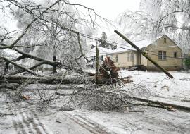
Hurricane-force winds and damaging wind gusts are also expected to spread inland into portions of eastern Texas and western Louisiana early Thursday. They are also at a risk for tornadoes as the storm moves inland, including Arkansas and western Mississippi.
Dangerous swells and beach conditions are also expected along the NW Gulf Coast through most of this week.
Source: WINK News