Winter Storms Likely to Hamper Thanksgiving Travel across the Mideast U.S.
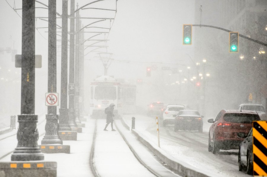
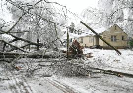
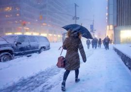
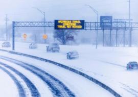
A major winter storm will be hammering the region tonight through tomorrow. Travel after midnight tonight through tomorrow morning will be very difficult. Roads should start to clear up Wednesday afternoon as the snow subsides.
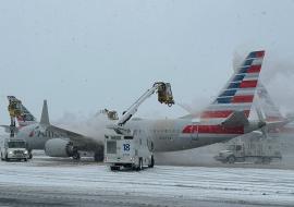
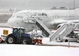
Key airport hubs that could see major delays and/or cancellations through Wednesday include Minneapolis, Chicago, Los Angeles, San Francisco and Portland. At Denver International Airport, where heavy snow is occurring, nearly 500 flights have already been canceled.
Strong winds, hefty rain and snow totals and even severe weather are in the offing for large swaths of the western and central Lower 48, where land and air travel alike could be disrupted or even rendered impossible. And that’s not all — a third significant storm looks to brew in the days immediately following the Thanksgiving holiday.
Tonight we will see snow showers moving in from south to north. Snow should start in the Ports after 11pm and continue through the overnight hours. Travel will become very difficult after midnight as heavy snow and breezy winds pick up. Winds will be NE 15-25mph, gusting 40-50mph.
Snow will continue through Wednesday morning and then diminish from west to east after noon. Lake effect snow will likely continue for the South Shore.
By Wednesday morning, the Great Lakes will be dealing with heavy rain or snow and strong winds as the system bolts toward Canada. It may even skirt northern New England on Thanksgiving Day with powerful winds in its wake.
To the west, a potent storm is intensifying off the Pacific coast, meeting the criteria of a “bomb cyclone” due to its rapid strengthening. The National Weather Service is calling it an “unprecedented” storm for the southern coast of Oregon and northwestern California, where localized wind gusts could approach 80 mph.
Totals for the Ports, East-Central MN, and the North Shore are still in the 4-8” range. Wisconsin will see 6-12” of snow, with higher amounts possible in the Snow-Belt region along the South Shore as lake effect snow continue into the early evening.
Temperatures will also be falling through the day with breezy winds out of the north 10-20mph. Lakeshore flooding is also a concern, mostly for the South Shore. Lakeshore waves will be between 10-15-feet. Waves in open water on Lake Superior could reach 20-29-feet. Lakeside property could become inundated with water and could cause significant damage.