National Hurricane Center Tracks Tropical Storm Fernand, Invest 99L
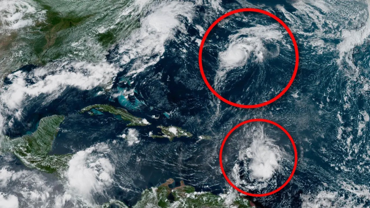
The National Hurricane Center (NHC) is currently monitoring Tropical Storm Fernand, a weakening disturbance in the central Atlantic, along with Invest 99L in the Caribbean and three additional tropical waves across the basin.
According to the NHC’s 8 a.m. advisory, Fernand is moving north-northeast over open waters, well east of Bermuda, with maximum sustained winds near 50 mph and higher gusts. While slight strengthening is possible early Monday, forecasters expect the system to weaken by tonight and become post-tropical by Wednesday. Tropical-storm-force winds extend outward up to 60 miles from its center. Importantly, Fernand is not expected to threaten Florida or the U.S. mainland.
Meanwhile, Invest 99L, a tropical wave in the eastern Caribbean Sea, has become less organized and now carries a near 0% chance of development over the next seven days. The disturbance is producing disorganized showers and thunderstorms as it tracks westward.
Elsewhere, three other tropical waves are under observation:
-
Wave 1 emerged off the west coast of Africa, moving west at about 11 mph.
-
Wave 2, farther west in the eastern Atlantic, is moving along near 37W longitude.
-
Wave 3, located in the northwestern Caribbean near Honduras, is moving west at a faster pace of 23–28 mph.
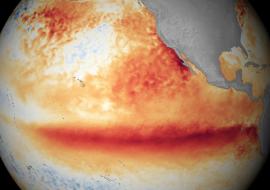
Meteorologists emphasize that no system currently poses a hurricane threat to Florida. Atmospheric conditions, including unfavorable upper-level winds across the Atlantic’s Main Development Region, are expected to limit tropical activity through the end of August and early September.
Still, experts warn that mid-August through mid-October remains the most active period of the Atlantic hurricane season, urging residents to remain prepared. The next named storms on the list are Gabrielle and Humberto.